
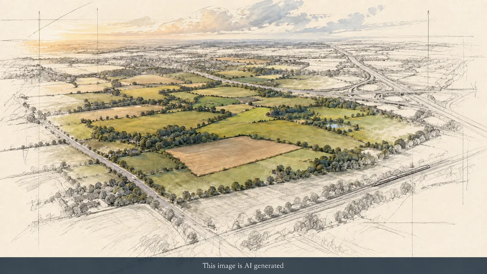
Puy du Fou UK is proposed near Bicester in Oxfordshire, on land north of Bucknell village and roughly 3.5 kilometres from the town. Although Bicester is the most recognisable nearby destination for visitors, the application describes a rural site close to the B4100 and Junction 10 of the M40 rather than somewhere in Bicester town centre. Its planned access arrangements are still being considered, so the location on a planning map should not be mistaken for a finished park entrance or a postcode visitors can use today.
The short answer
The application calls the location “Land North and East of Manor Farm, Bainton Road, Bucknell.” The Environmental Statement also describes it as land north-west of Bicester.
Both descriptions refer to the same broad proposal. “Near Bicester” is the clearest visitor-facing explanation, while Bucknell is important for understanding the site’s immediate local context.
How large is the site?
The Environmental Statement gives an area of approximately 158 hectares. The boundary includes the main development land and sections needed for proposed access and highway works.
A large planning boundary does not mean every hectare would contain theatres or visitor buildings. The proposal also includes hotels, back-of-house operations, landscaping, woodland protection, water management, energy infrastructure, parking and internal transport routes.
What is around the site?
The land is currently dominated by agricultural fields and buildings. The documents identify woodland, hedgerows, public rights of way and nearby ecological and heritage considerations.
Bucknell village sits to the south. The B4100 is to the east, with the M40 nearby. Bicester is the nearest substantial town and would be the most recognisable rail, accommodation and service centre for many future visitors.
The applicant says three ancient woodlands—Twelve Acre Copse, Great Copse and Nettle Copse—would be retained and protected. Extensive planting and screening are also proposed. These are planning commitments and mitigation proposals, not completed landscaping.
How would drivers arrive?
The outline plan proposes three vehicle access points from the B4100. These would separate the main visitor entrance from hotel/conference and staff/service movements.
The public proposal describes two new roundabouts serving the principal entrances and locating car parks near the B4100 side of the development.
Final road layouts, construction sequencing, signs, traffic-management arrangements and parking prices are not visitor-ready.
Which railway stations could serve it?
The project specifically identifies Bicester North and Bicester Village as the rail stations it intends to connect to the future resort using free shuttle buses. That is a more useful indication than simply choosing the geographically nearest station: visitors will eventually need a reliable transfer, a clearly signed stop and an appropriate service at the end of the day’s shows. The developer also proposes improvements to local bus connections, but none of these park-specific services operates yet.
Bicester North serves the Chiltern route towards London Marylebone and Birmingham, while Bicester Village provides rail connections towards London and Oxford. The right station for a future visitor will depend on confirmed shuttle timetables and the onward train journey, which have not been published. Our planning-application guide explains the current decision process; a full rail journey planner will only become practical once the operator announces its own transport arrangements.
The project material also refers to engagement with Chiltern Railways and East West Rail. That should not be turned into a claim that a new dedicated station or a particular future service is confirmed.
Is the park in Bicester itself?
Not within Bicester town centre. The site is rural land to the north of the town, close to Bucknell.
Using “Bicester” in visitor copy is reasonable because it is the nearest widely recognised destination and the rail hub named by the applicant. Location guides should still explain the Bucknell setting so readers are not misled into expecting a town-centre attraction.
Can you visit the site now?
No public attraction exists. The land is not an open visitor destination, and people should not travel there expecting a viewing area, sales centre or park facilities.
Public rights of way and local roads should not be treated as construction-viewing routes. Any future site-visit advice must come from Puy du Fou or the relevant authorities.
What could still change?
The planning boundary and access principles are being considered through the outline application.
Detailed building positions, appearance and landscape design would be refined through later applications.
Transport commitments may develop through conditions, legal agreements and operator decisions.
The final visitor address and route guidance will only become meaningful much closer to opening.
Sources
- Official Puy du Fou UK project site
- Official Puy du Fou UK proposals page
- Cherwell planning register entry
- Environmental Statement non-technical summary